Spotting A Tree From A Pixel (With Remote Sensing Researchers)
This exposition contemplates the collaboration between me, a photographer, and remote sensing researchers from the Department of Geoinformatics at Aalto University, in an ongoing artistic research collaboration called Ground Truth. Ground Truth is a photography project about ‘seeing something when there’s nothing there’. Based in the research group’s initial intent to overcome the spatial resolution limits of satellite imagery, the project now investigates new imaging techniques such as computational photography and hyperspectral imaging of forests, while also referencing photography’s love affair with natural landscapes. Such a comparative approach to natural photography has allowed me to offer a vision that typically escapes human sight perception.
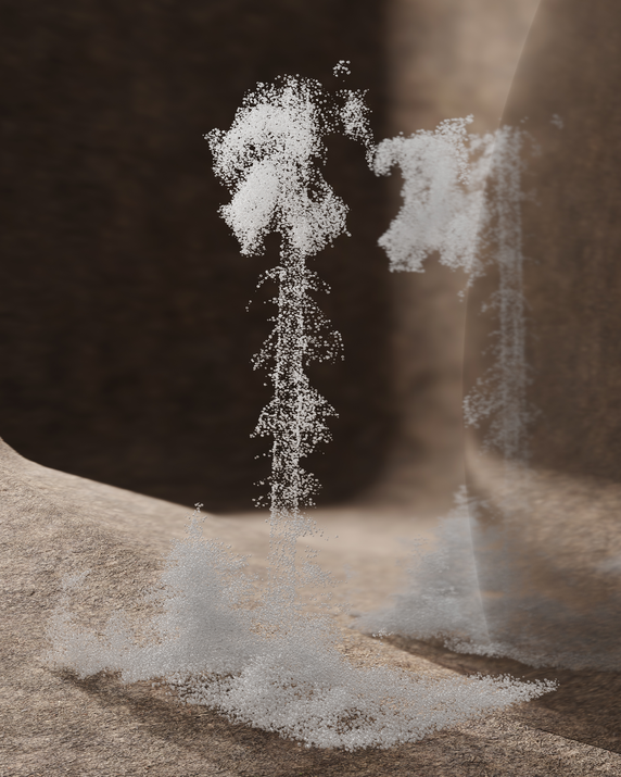
I open this auto-theoretical text with a personal experience, namely being on a field trip with remote sensing scientist Daniel Schraik. I use this moment to, among other things, articulate my thoughts on the construction of the ‘real’ in different disciplines. I then contemplate the body of interviews and field trips that became a two-year-long interdisciplinary dialogue, and also brought together two distinct ways of looking at the forest: one symbolized by the camera, another by the terrestrial laser scanner. Inspired by remote sensing concepts such as ground truth and the inverse problem, I have come to examine photography through a new analytical framework.
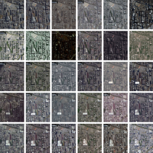
In everyday language, the term ‘ground truth’ refers, in part, to a first-hand experience. In our project, it makes sense, then, that Ground Truth connotes the documentary tradition and the act of witnessing. In the language of science, however, and specifically in remote sensing as a field, ground truth means something different. It refers to data collected on-site, which can then be used to calibrate, to build models, to predict, to interpret, and to decipher information from images; in this case, satellite images. Similarly, our interdisciplinary collaboration functions on another operational layer of photography beneath the immediately visible, one that illustrates an expanded notion of photography across contemporary discourse. Ground Truth interweaves archival imagery, documentary photography, experiment dataset, 3D digital art and conceptual photography. The constellation of employed elements contrasts the representational approaches of drawing and photography with the data-oriented and algorithmic approaches of computer-aided seeing. The two modes together allow for a parallel reading of the forest — one that contextualizes different epistemological regimes that allow for new configurations of the relationship between image and reality.